
A day in the office last week gave me the chance to tick a scheme visit off my list in a quick post-work infrastructure safari. The scheme I had in mind were the cycle tracks on Baylis Road in the London Borough of Lambeth.
As it turned out, my son decided to join me and so we hired a couple of London hire bikes at Moorfields, a short walk from my office, and we toddled off. Our route was a mixture of quiet streets and pedestrian/ cycle streets in the City of London, as well as the increasingly low traffic area around Bank. We then picked up Cycleway C3 along the Thames and then turned off onto Cycleway C6 to cross the river at Blackfriars before turning right into The Cut which is recently been transformed by a pedestrian and cycle zone in its central section. In fact, you might want to pause for a minute and watch my video of The Cut.
The Cut now provides a nice little link between the C6 Cycleway and C5 which starts on Baylis Road as well as crossing C10. In fact, I'd like to see The Cut being formally signed as C5 and if that included Union Street to the east, some useful connections would be made. The map below is from TfL's website onto which I have added Cycleway numbers with The Cut marked in red.

Given that lots of streets in this area are gradually being filtered or general traffic is being managed well in side streets, we have a main roads with cycle tracks and quieter side streets set up which really feels like a pretty coherent (if a bit rough and ready) network.
Anyhow, heading west from The Cut, we crossed the A301 Waterloo Road into the B300 Baylis Road. The London Borough of Lambeth upgraded the old painted, buffered cycle lanes for cycle tracks with largely hard buffers and floating bus stops in 2020. The photograph below looks east from Murphy Street.

The designers have taken the space that was already claimed by the old cycle lanes and made it much safer. From that point of view, the scheme is more of an upgrade than a new part of the network, but it's appropriate for a street which is used as a distributor and carries bus routes.
If I had criticisms about the the general approach, they would be around the cycle tracks feeling a touch narrow in places and the protection not continuing over the side streets. The Frazier Street junction was especially poor (above) because a right turn lane is provided form Baylis Road into Frazier Street (east) whereas the space should have been given to buffers between the cycle track and the carriageway along with continuous treatments.

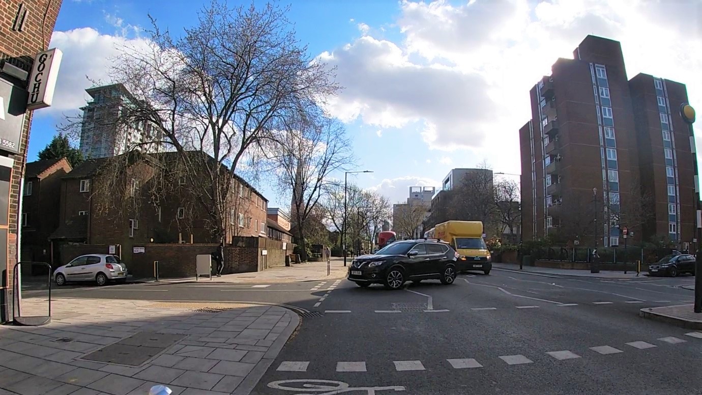
The the junction with the A301 Westminster Bridge Road (above), I found the wayfinding a little confusing and it's only looking back do I find there is potentially a left hook risk. The C5 route crosses Westminster Bridge Road onto the A23 Kennington Road, but general traffic can also turn left. The C5 route then peals off to the right, but access is via a toucan crossing which I missed on the sign at the end of Baylis Road. I think the easiest solution would be to make the western end of Baylis Road a cycle gate rather than an advanced stop line (albeit with an early start for cycle traffic).

Kennington Road has some pop-up cycle lanes in response to the Pandemic. The southbound side uses wands and a quickly deployed floating bus stop (above) to provide a perfectly useable link, although the floating bus stop should only really be at footway level at the mini-zebra crossing. Unfortunately it soon fizzles out and you're left to fight with traffic. The northbound side was opportunistic and makes use of an historic level difference which had a step running along the footway which was on two levels.

The new layout repurposes the lower footway and creates a buffered cycle track (above). Maybe this was a bit of a loss to walking, but from the layout, it's not a significant loss in my view. One issue with the cycle track is the crossfall is a little steep towards the right and this is because the left side has been raised because the old step between the footway levels was quite high.

The northbound approach to the Westminster Bridge Road junction is interesting. There is a bus lane here (always was) which has a "bus advance" on the approach to the main signals. This allows buses to get to the main stop line at the junction before any other traffic for bus priority purposes. Cycle traffic stays to the left of this feature and enters a cycle gate (above). This is essentially a signalised advanced stop line. Cycle traffic and general traffic have separate stop lines and signals and the idea is cyclists get fed to the main stop line and when the main green runs, so does the set back general traffic stop line.

In this case, cycle traffic gets an early start too (although it is hard to see) with the idea that the time delay and distance ahead of following traffic allows cyclists to clear the junction before any general traffic catches up. Above is an extract from LTN 1/20 which sets out the signals arrangement (p118).
Cycle gates are sometimes referred to as "always stops" because, yes, cycle traffic will always pick up a red signal either at the first or second stop line depending on where the junction's cycle is. On the other hand, it is a fairly simple thing to retrofit if the main junction is a bit tricky and you don't have the money for a complete redesign. They are also useful if the highway width is narrow at a junction because they are space efficient. In this case, it's an ahead, but slightly right turn to get back to Baylis Road and so the cycle gate helps with positioning.

Finally, back at the northbound approach to Waterloo Road (above), there's another cycle gate which gets you across the junction before general traffic is released.
Baylis Road is a pretty simple scheme and it does a good job. There are bits I would prefer to have seen done differently, but it can be added to and tweaked. The large signalised junctions are a bit unusual in their use of cycle gates, but given the costs and network implications of major redesigns, they are a fair solution to protect people in time and space. I think this is a nice little case study because it has lots of elements which we can apply on distributor type streets. I'll leave you this week with a video of the scheme.
"it's only looking back do I find there is potentially a left hook risk"
ReplyDeletewas originally to be a banned turn but retained in response to resident feedback at consultation. There is almost no left turn traffic - little enough that in all the years I've cycled it I can't remember actually seeing a left turn vehicle.